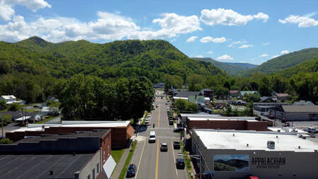
Motor Routes around Damascus
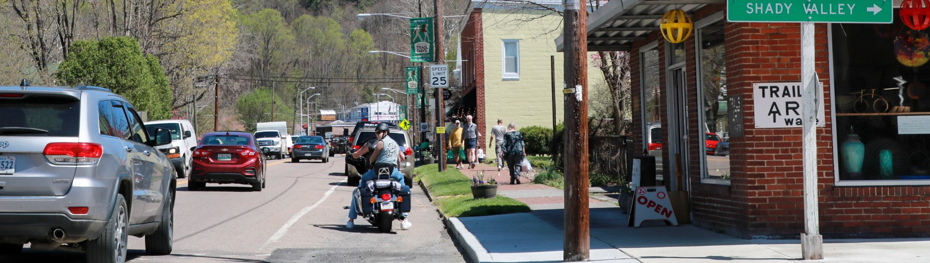
Damascus is a ride destination all on its own, as well as a popular waypoint on longer routes. Hit the brakes for a quick lunch in town or stop and stay awhile at your choice of lodging.
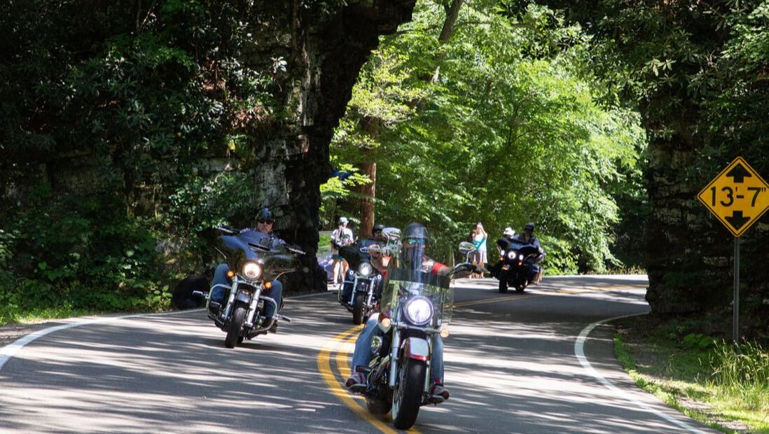
The Snake, US-421
The most well-known ride in the area is US-421, better known as The Snake. The Shady Valley County Store, a popular pit stop, advertises “Three mountains, one valley, 489 curves.” Enjoy views of South Holston Lake, Shady Valley, and the surrounding countryside along the way. The highlight of the Snake? Pass through Backbone Rock, also known as "the world's shortest tunnel."
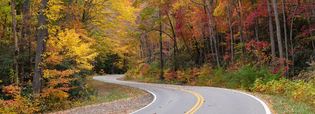
Mount Rogers Scenic Byway, US-58
The Mount Rogers Scenic Byway is a 30-mile route on a two-lane, paved scenic road through national forest, from Damascus to Volney. This route offers the easiest access to the high country of Mount Rogers National Recreation Area and passes several waypoints: Straight Branch Falls, Beartree Lake, the Virginia Creeper Trail, and historic Green Cove and Konnarock.
Whitetop Mountain, FR-89, the highest road in Virginia
To reach Whitetop Mountain, take a quick detour from the Mount Rogers Scenic Byway and follow the gravel of Forest Road 89, the highest road in the state of Virginia. Whitetop is the second highest peak in the state at 5,525 feet in elevation. On clear days, the summit provides panoramic views of three states - Virginia, North Carolina, and Tennessee. Whitetop is popular for sunsets, picnics, birding, and stargazing. If you'd like to stretch your legs, take the Appalachian Trail about a mile down to Buzzard Rock, the fourth highest peak in the state.
Mid-Atlantic Backcountry Discovery Route (MABDR)
For a dual-sport adventure, check out the Mid-Atlantic Backcountry Discovery Route. Damascus is at the southern terminus of the route. From here, you can follow about 1,000 miles of forest roads, gravel, and rural country lanes to reach Pennsylvania.
The Snake, US-421
The most well-known ride in the area is US-421, better known as The Snake. The Shady Valley County Store, a popular pit stop, advertises “Three mountains, one valley, 489 curves.” Enjoy views of South Holston Lake, Shady Valley, and the surrounding countryside along the way. The highlight of the Snake? Pass through Backbone Rock, also known as "the world's shortest tunnel."
Mount Rogers Scenic Byway, US-58
The Mount Rogers Scenic Byway is a 30-mile route on a two-lane, paved scenic road through national forest, from Damascus to Volney. This route offers the easiest access to the high country of Mount Rogers National Recreation Area and passes several waypoints: Straight Branch Falls, Beartree Lake, the Virginia Creeper Trail, and historic Green Cove and Konnarock.
Whitetop Mountain, FR-89, the highest road in Virginia
To reach Whitetop Mountain, take a quick detour from the Mount Rogers Scenic Byway and follow the gravel of Forest Road 89, the highest road in the state of Virginia. Whitetop is the second highest peak in the state at 5,525 feet in elevation. On clear days, the summit provides panoramic views of three states - Virginia, North Carolina, and Tennessee. Whitetop is popular for sunsets, picnics, birding, and stargazing. If you'd like to stretch your legs, take the Appalachian Trail about a mile down to Buzzard Rock, the fourth highest peak in the state.
Mid-Atlantic Backcountry Discovery Route (MABDR)
For a dual-sport adventure, check out the Mid-Atlantic Backcountry Discovery Route. Damascus is at the southern terminus of the route. From here, you can follow about 1,000 miles of forest roads, gravel, and rural country lanes to reach Pennsylvania.
|
|
The Crooked Road
Cruise along the 330 miles of The Crooked Road in Southwest Virginia and discover heritage music, from festivals and venues to history and education. The Crooked Road connects nearly 70 music venues throughout Southwest Virginia and has been named by the Commonwealth of Virginia as Virginia's Heritage Music Trail. While music is its primary focus, you will also find outdoor recreation, museums, and history programs.
Virginia Bird and Wildlife Trail
Damascus is featured on two driving loops of Virginia DWR's Bird and Wildlife Trail: the Mount Rogers Loop and South Holston Loop. This region offers a wide range of habitats which contribute to high biodiversity. Explore the back roads, scenic overlooks, forests, and waterways around Damascus and be on the lookout for flora and fauna.
Overmountain Victory Trail Commemorative Motor Route
Follow the 330-mile Overmountain Victory National Historic Trail, which traces the historic route of patriot militia in the Kings Mountain campaign of 1780. The Commemorative Motor Route uses existing state highways and features walkable points of interest along the way.
The Back of the Dragon, VA-16
Make Damascus your basecamp and plan a day trip on the Back of the Dragon, with 32 miles, 438 curves, and 3500 feet of elevation. Route 16 crosses over three mountain ranges, Big Walker, Brushy, and Clinch, from Marion to Tazewell.
Boone Trail Highway
Damascus was included as a site along the Boone Trail highway project from 1917 to 1938, in which Joseph Hampton Rich of Mocksville, NC developed an auto route from Virginia Beach to San Francisco. This was done in an effort to memorialize Daniel Boone, plus promote highway improvements, tourism, and patriotism. The route was marked by 358 cast iron markers made of metal from the battleship USS Maine and mounted on arrowhead-shaped stone monuments. Only about 115 of these markers remain. The Damascus marker is now on the front of Town Hall, after being washed away from Legion Island in the flood of 1977. Other nearby markers can still be found in Laurel Bloomery, TN and Abingdon, VA, and throughout the region. Nowadays, the Boone Trail Highway is less of a route and more of a scavenger hunt.
A scenic drive on Route 133 through Cherokee National Forest and the world's shortest tunnel, Backbone Rock